Go Explore the Outdoors
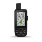
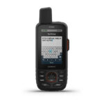
Unleash your inner explorer with the Garmin GPSMAP 67 GPS Handheld, designed for the adventurer who seeks the thrill of the great outdoors. This premium, rugged handheld is your reliable companion on the most arduous journeys, offering long battery life and state-of-the-art multi-band technology for unmatched accuracy.
Key Features:
-
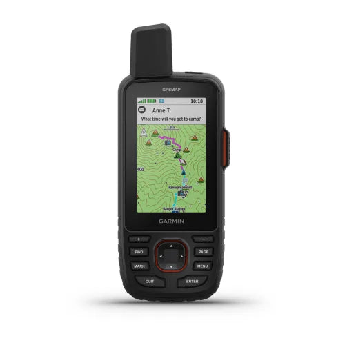
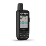
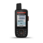
Crystal Clear Display: Navigate with ease under the bright sun with a 3” sunlight-readable color display.
-
Extended Battery Life: Keep moving without worry with up to 180 hours of battery life in GPS mode and an impressive 840 hours in expedition mode.
-
Advanced Tracking: Experience superior position accuracy in challenging environments thanks to multi-band technology and expanded GNSS support.
-
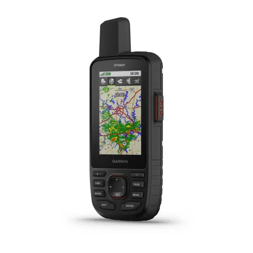
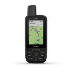
Detailed Satellite Imagery: Get a bird’s-eye view of your route with high-resolution satellite imagery directly on your device.
-
Stay Informed: Never be caught off-guard by the weather with active forecasts when paired with your compatible smartphone.
Multi-Band GNSS Support
Navigate with precision anywhere on the globe by accessing multiple global navigation satellite systems (GPS, GLONASS, Galileo, and QZSS). This multi-band capability ensures that you receive accurate positioning even in locations where satellite signals are compromised.
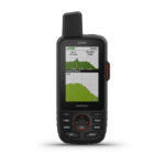
ABC Sensors
Master your trail with ABC sensors that include:
-
Altimeter: Know your elevation to gauge ascent and descent.
-
Barometer: Monitor weather changes promptly.
-
3-axis Compass: Keep your bearings no matter how you hold your map.
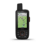
Premium Mapping Capabilities
-
Preloaded TopoActive Maps: Comes with detailed maps of the U.S., Mexico, and Canada showcasing geographical points and natural formations.
-
Outdoor Maps+ Subscription: Gain access to extensive map features including landowner names, hunting zones, and public land markings.
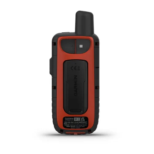
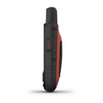
Built for the Extreme
Constructed to military standards (MIL-STD-810), the Garmin GPSMAP 67 can withstand thermal shocks and water immersion, and is even compatible with night vision goggles.
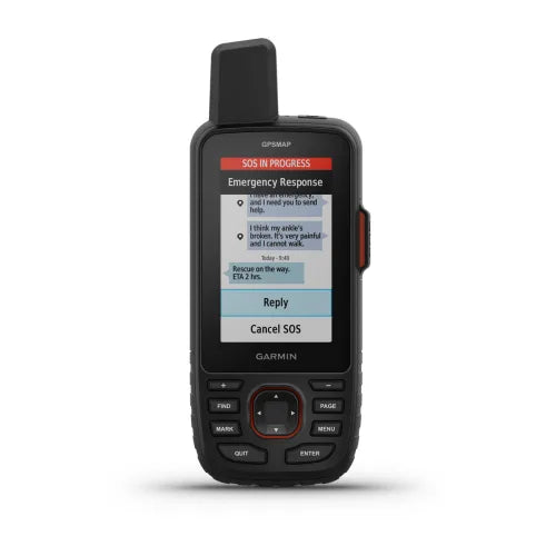
Essential Tools for Safety and Navigation
-
LED Flashlight: Equipped with a built-in flashlight that can serve as an emergency beacon.
-
Geocaching: Connect to Geocaching Live for seamless updates on caches, complete with logs and hints.
-
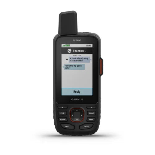
Active Weather Updates: Stay ahead of weather changes with real-time updates through the Garmin Explore smartphone app.
-
Garmin Explore Integration: Sync and manage your navigation data seamlessly between your device and the Garmin Explore platform.
Explore Longer, Explore Smarter
Whether you’re trekking through the wilderness or embarking on a multi-day backcountry excursion, the Garmin GPSMAP 67 is your ultimate navigation ally. It’s not just about surviving the outdoors, but thriving in it.